02
Precision · Imagery · Reports
Section · 02
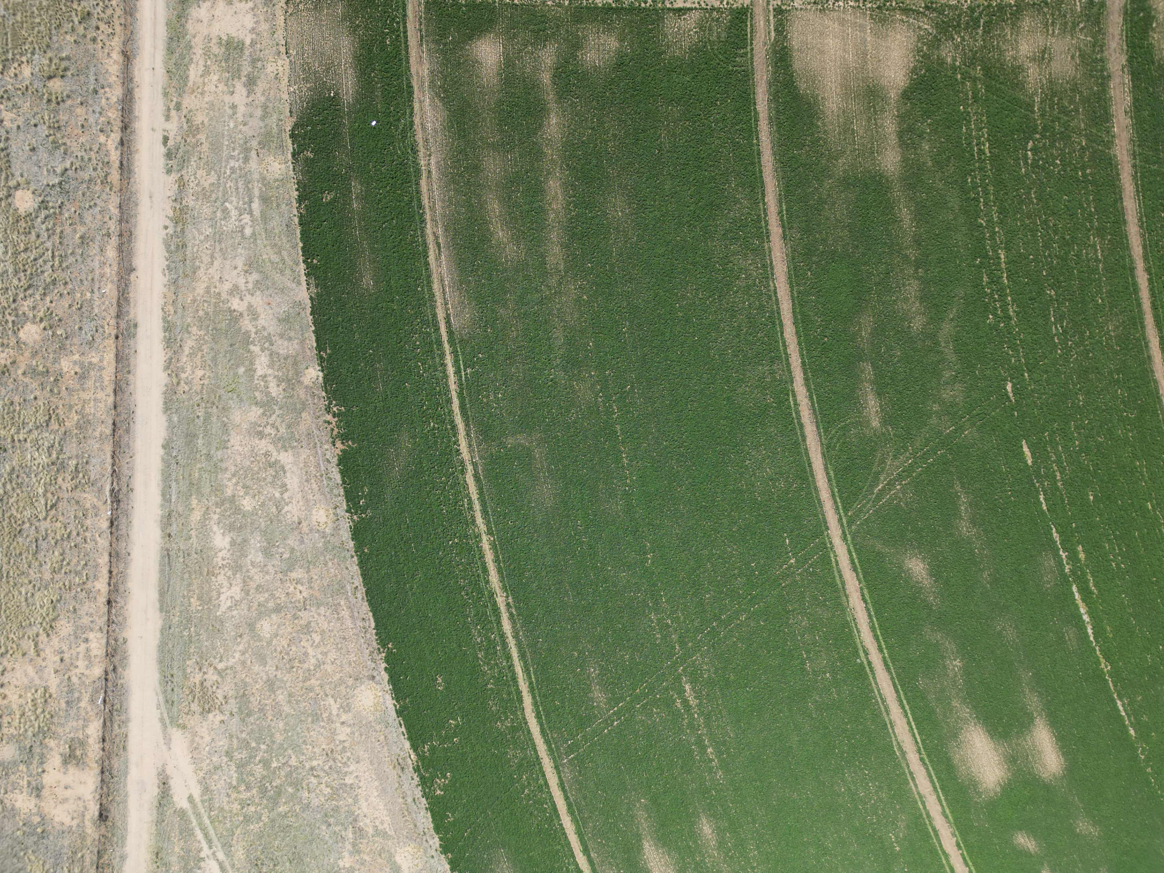
Precision Agriculture
Detailed images that enable a comprehensive assessment of crop health — disease, pest infestations, water stress identified early.
Survey data turned into operational reports for fertilizer, irrigation, and pest-control decisions.
Recurring surveys track health over time and signal when strategy needs adjusting.
Subscriptions $200–$300 per 1/4-section pivot or 160-acre survey, depending on frequency.